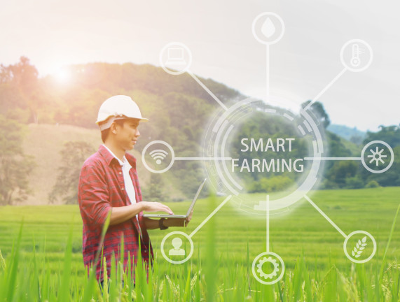
Crop Survey Drone Photographer – Smart Farming
Find a Crop Survey Drone Photographer for Smart Farming with the professional drone photographers at Drone Safe Store.
Reliable production statistics for the UK’s arable farming activities are essential for assessing crop and making recommendations on efficient use of land. If you manage a farm in England, Defra organises and collates agricultural surveys to capture date on use of land and types of crops. Defra’s surveys are particularly useful for spotting trends in arable farming.
Hire a local Drone Safe Drone Operator HERE
The idea of using drones for agriculture in the UK would have sounded like science fiction just five years ago, but they are now a proven and established tool. The ability to map and monitor large areas by drone accurately and quickly is revolutionising farming.
UAVs are particularly effective for detecting crop health issues and assessing the impact of losses after extreme weather.
Speed is a critical factor when it comes to identifying and treating diseases in crops.
Using satellites and manned aircraft is a longer process than appointing a crop survey aerial photographer to use drone technology.
The technology works by measuring the difference in light reflected by unhealthy plants compared to that from healthy plants. Algorithms applied to the data can produce visual maps for instant identification of problems.
Assessing damage to crops caused by extreme weather is another time a crop survey aerial photographer can be invaluable.
Having clear evidence of the extent of damage can speed up the claim process and help to avoid disputes. If farm outbuildings are damaged and insured by a different underwriter the drone photographer can also capture evidence for this claim.
Hire a Drone Safe Register Drone Operator HERE


