South West Aerial Surveys Ltd
About us
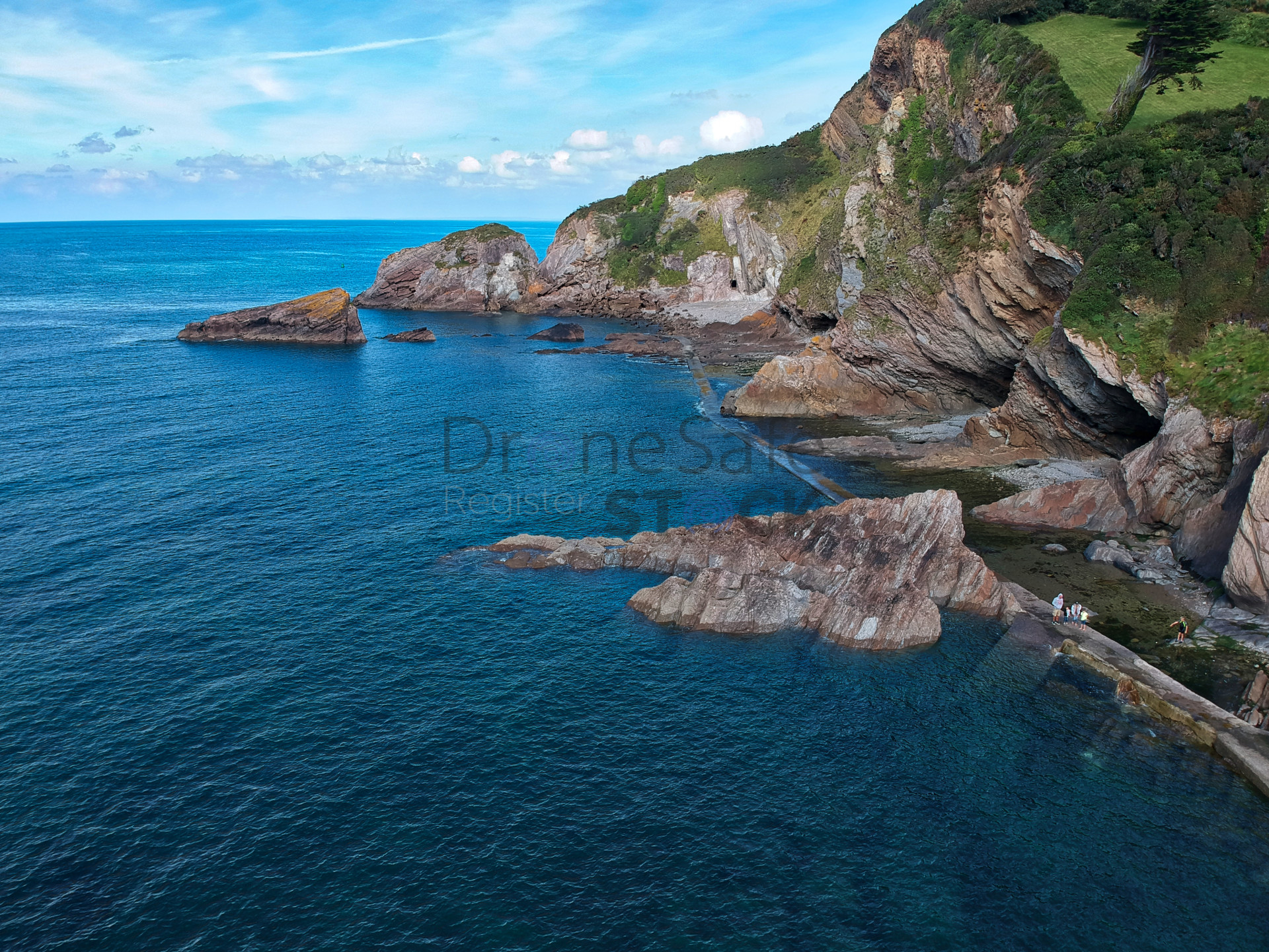
We are a team leading innovative aerial mapping, survey and visual data based near Taunton in South West England. Using the latest UAV and ground-based technologies we provide customers with measurable, accurate, cost-effective geospatial and immersive digital as well as cloud-based visualisation solutions.
Working directly with businesses – communication, collaboration, and solution-based approaches underpin all our work.
We are able to deliver a range of data outputs for external and internal projects, so you can use our data to work smarter, increase profitability, improve safety and gain an edge over competitors.
See examples of our work - https://southwestdrones.co.uk/case-studies/
Why South West Aerial Surveys?
- Licenced and audited by the CAA with £5million public liability insurance
- The latest enterprise-level technology using a range of sensor technologies: visual, thermal and mapping as well as ground-based 3D scanning and digitisation
- Staff and equipment resource capability to deliver large and small projects, both in the SW and further afield
- Problem-solving attitude with a track record of safe and efficient delivery in a range of sectors for different clients
mapping
inspection
survey