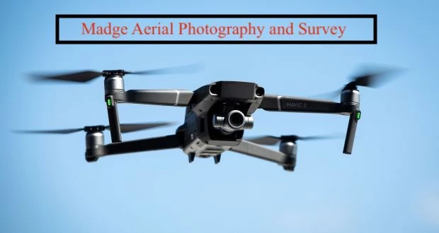

Madge Aerial Photography & Survey
Madge Aerial Photography and Survey (MAPS) is based in Windsor, and available at short notice for building and roof surveys, low altitude visual work, video and photographic and associated work. Tim Madge is a former pilot of both conventional and ultra-light aircraft, and a current paraglider pilot. The move into UAVs is a logical step, which also brings to bear his previous work as a photographer. Contact him for further details and for a discussion of your precise requirements.
The sky's our limit.